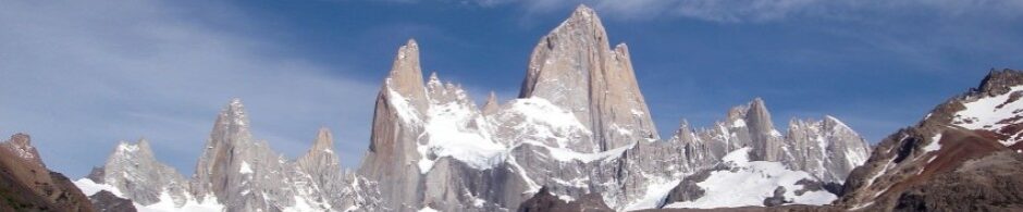
The north-east face of Piz Badile is situated in Bondasca valley on the border of Italy and Switzerland. It’s the easiest of the Rebuffat’s six classic north faces. Piz Badile is not too high – it’s only 3308 meters – but the north east wall has more than 800 meters climbing on it. The history of the face is fairly fierce but these days the Cassin sees quite a lot traffic.
Piz Badile: Via Cassin (6a, 800m) – September 7th, 2012
Climbing a wall this long for your first route with a new partner is always a little exciting. I had done plenty of climbing during the season but this was the season opening route for Reko. In addition, we were not sure if the route would be dry since the temperatures had been fairly low and there had been heavy rain during the week. Nevertheless we decided to give it a go. The weather forecast was very good.
We weren’t the only party who figured the route could be wet. The ladies at the Sasc Füra hut commented our plan with a warm “ah, Cassin… ummm… could be so-so”. Later on the notch before entering the wall the Swiss guides said “The crazy Englishmen. They don’t care if it’s wet.” On the notch there were three other parties and they all turned back down because “it looked wet”. I was happy about this though since I knew we would be alone on the wall. There was going to be no queuing and we could take exactly the pace we wanted. If I have the time I like climbing slower and enjoying the atmosphere more. The route being slightly wet is much better than having traffic jams.


The Cassin route is a very good route worth repeating. The rock is bomber as long as you stay on route. Being off route it can be a little brittle. The Cassin is essentially a long moderate rock route and fairly sustained at French 5b/5c. On the lower part it’s less sustained than on the upper part. If the route is wet it can be a problem since most of the foot holds were friction and required smearing. Most belays have two solid bolts but no maillons.
The wall is visible from the road in Bondo, Switzerland. This is also where the toll road to the Sasc Füra hut (1904m) starts. From the parking it’s 1-2 hour hike to the hut. The day of the ascent starts with a good morning walk up from the Sasc Füra hut to the notch (2590m). It’s a two hour hike with 700 meters of altitude gain. We split the approach in two and bivied on the meadows higher up. From the notch to the bottom of the route it took us 40 minutes. From the start of the Rebuffat diedre it was 4 hours to the mid ledge and from there to the north ridge 6 hours more. After having done the route proper we scrambled the north ridge for one hour before reaching the top. All in all it took us 12 hours from the bivy to the top. Abseiling down the north ridge took us little less than 6 hours the next day and we reached the Sasc Füra hut within 7 hours from starting from the top.
We climbed the route in two blocks. Reko led the first part to the middle ledge and I led from there to the top. For gear we had the typical trad rack with one of each until Camalot #2. Long slings were highly useful. For the approach and the descent Reko had his FiveTen Guide Tennies and I had my Inov8 ultra lights. We had insulated jackets just in case something went wrong.
It’s a stellar route but you should avoid weekends in July/August since it can be quite crowded. I’ve seen some reports with eight or more parties on the route the same day.